Administrative boundaries
Download country boundaries, global composites, and simplified files.
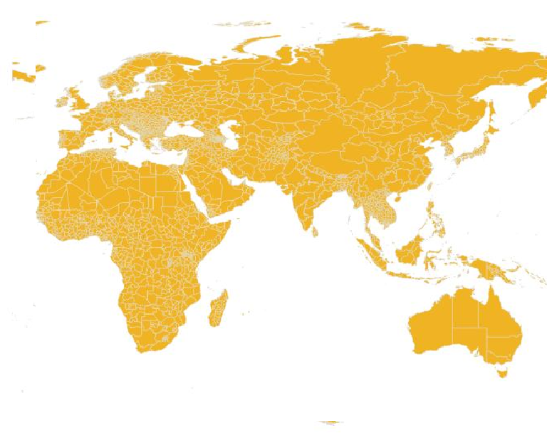
Download data
 Full resolution
Country boundaries
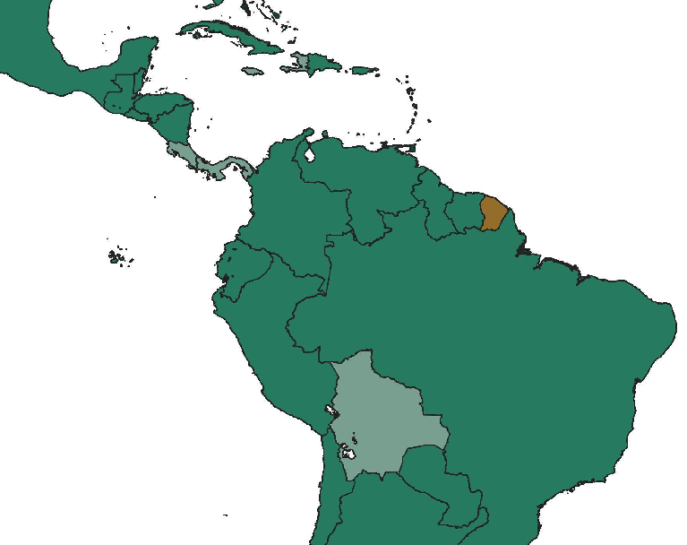
Full-resolution country files with source metadata.
Download country filesGlobal coverage
Global composites
Simplified global layers with a consistent treatment of disputed areas.
Download global files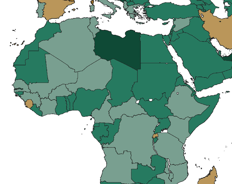 Simplified geometry
Simplified boundaries
Country GeoJSON files with fewer vertices.
Download simplified filesAbout geoBoundaries
geoBoundaries is an open database of administrative boundaries maintained by William & Mary geoLab and contributors.
Files use standardized formats and include source, license, and reference-year metadata.
Administrative levels
- ADM0CountriesThe outer boundary of a country or territory.
- ADM1First administrative levelStates, provinces, or their local equivalents.
- ADM2Second administrative levelCounties, districts, or their local equivalents.
- ADM3+Additional levelsAdditional subdivisions, where data is available.
import requests

url = "https://geoboundaries-dev.org/api/nightly/gbOpen/USA/ADM1/"
boundary = requests.get(url, timeout=30).json()

# Get the GeoJSON download link
print(boundary["gjDownloadURL"])
License & attribution
gbOpen is available under CC BY 4.0. Attribution to geoBoundaries is required.
Each boundary includes its source and license evidence. Check those records when using or redistributing the data.
Attribution on websites
Place the name “geoBoundaries” and a link to geoboundaries.org prominently on the page that uses the data.
Attribution in apps, films, and other products
Include geoBoundaries in the credits or help menu. If a link cannot be clicked, include the full website address. See the Creative Commons attribution guide for more examples.
Citation
Runfola, D. et al. (2020). geoBoundaries: A global database of political administrative boundaries. PLoS ONE 15(4): e0231866. https://doi.org/10.1371/journal.pone.0231866
Full author citation
Runfola, Daniel, Community Contributors, and [v4.0: Lindsey Rogers, Joshua Habib, Sidonie Horn, Sean Murphy, Dorian Miller, Hadley Day, Lydia Troup, Dominic Fornatora, Natalie Spage, Kristina Pupkiewicz, Michael Roth, Carolina Rivera, Charlie Altman, Isabel Schruer, Tara McLaughlin, Russ Biddle, Renee Ritchey, Emily Topness, James Turner, Sam Updike, Helena Buckman, Neel Simpson, Jason Lin], [v2.0: Austin Anderson, Heather Baier, Matt Crittenden, Elizabeth Dowker, Sydney Fuhrig, Seth Goodman, Grace Grimsley, Rachel Layko, Graham Melville, Maddy Mulder, Rachel Oberman, Joshua Panganiban, Andrew Peck, Leigh Seitz, Sylvia Shea, Hannah Slevin, Rebecca Yougerman, Lauren Hobbs]. "geoBoundaries: A global database of political administrative boundaries." Plos one 15, no. 4 (2020): e0231866.