Download · gbOpen
Simplified country boundaries
Country GeoJSON files with fewer vertices.
Simplified files have fewer vertices and less geometric detail. Use
full-resolution country files
when boundary precision matters.
Compare full and simplified geometry
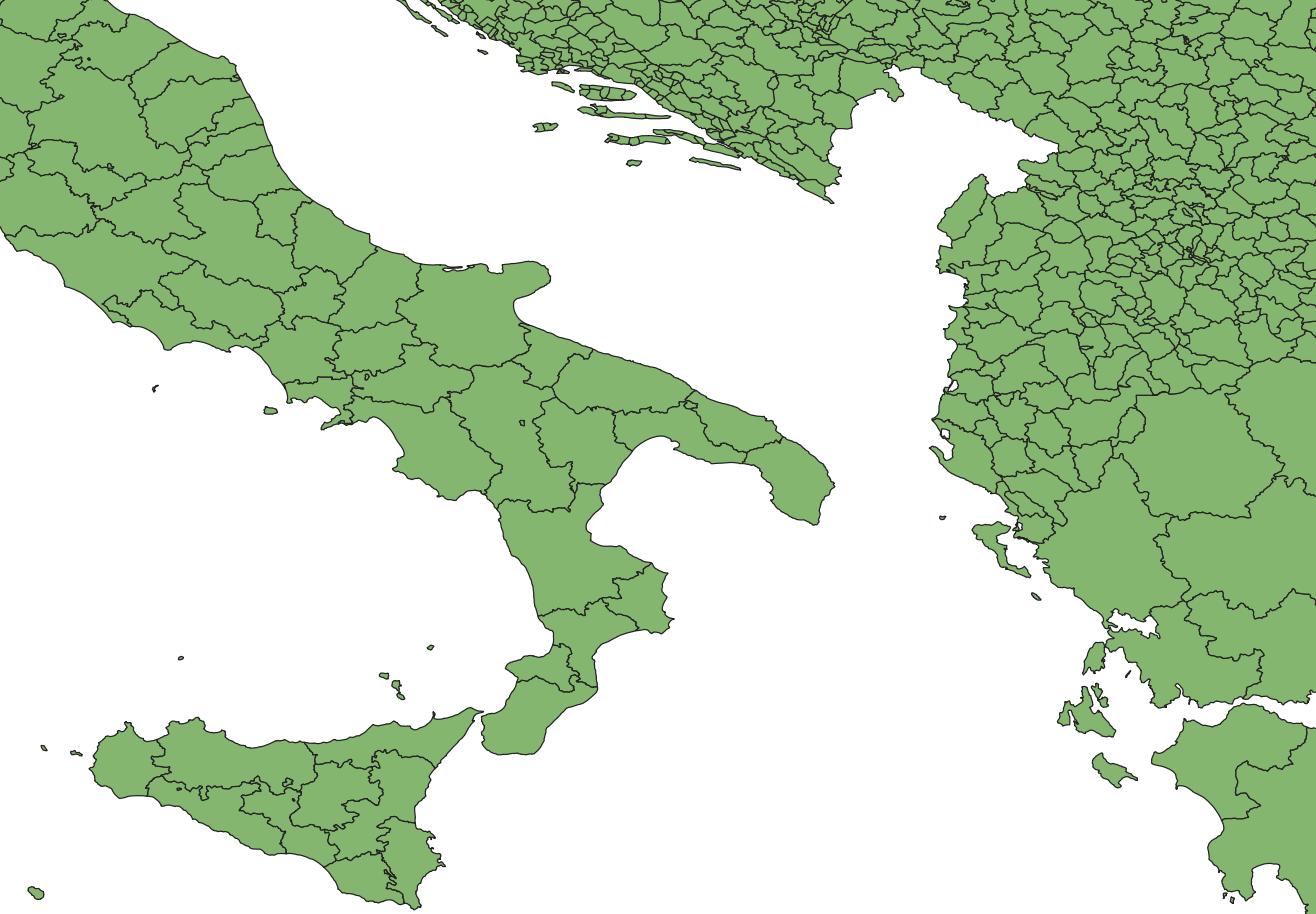
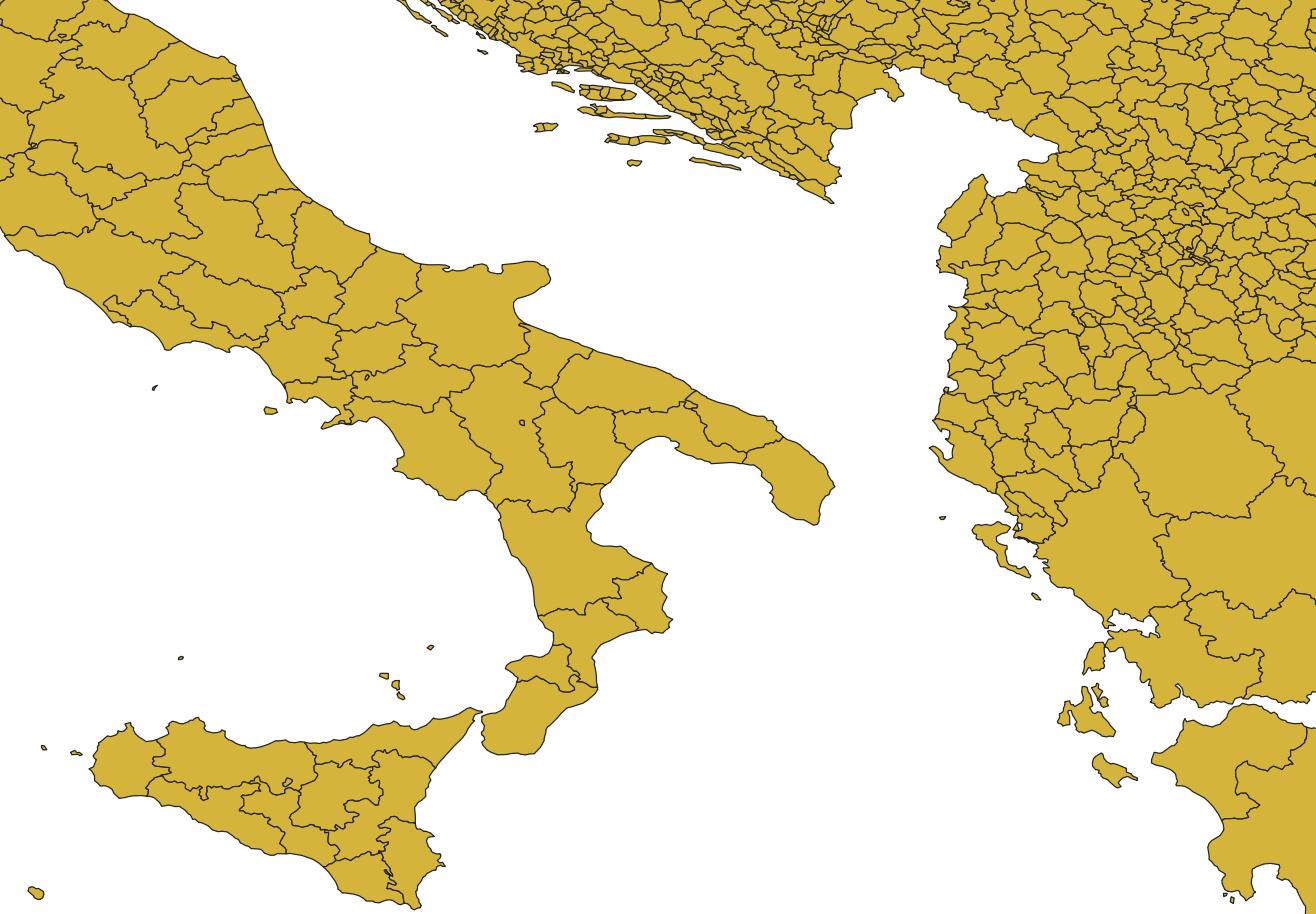
Loading boundary data…
GeoJSON · Simplified geometryNeed data in a script? Build an API request. Looking for an older version? Browse archived releases. Remember to cite geoBoundaries.