Global composites (CGAZ)
Global administrative layers at ADM0, ADM1, and ADM2.
CGAZ layers are simplified and gap filled. Disputed areas follow US
Department of State definitions. For boundaries as countries represent
themselves, use
individual country files.
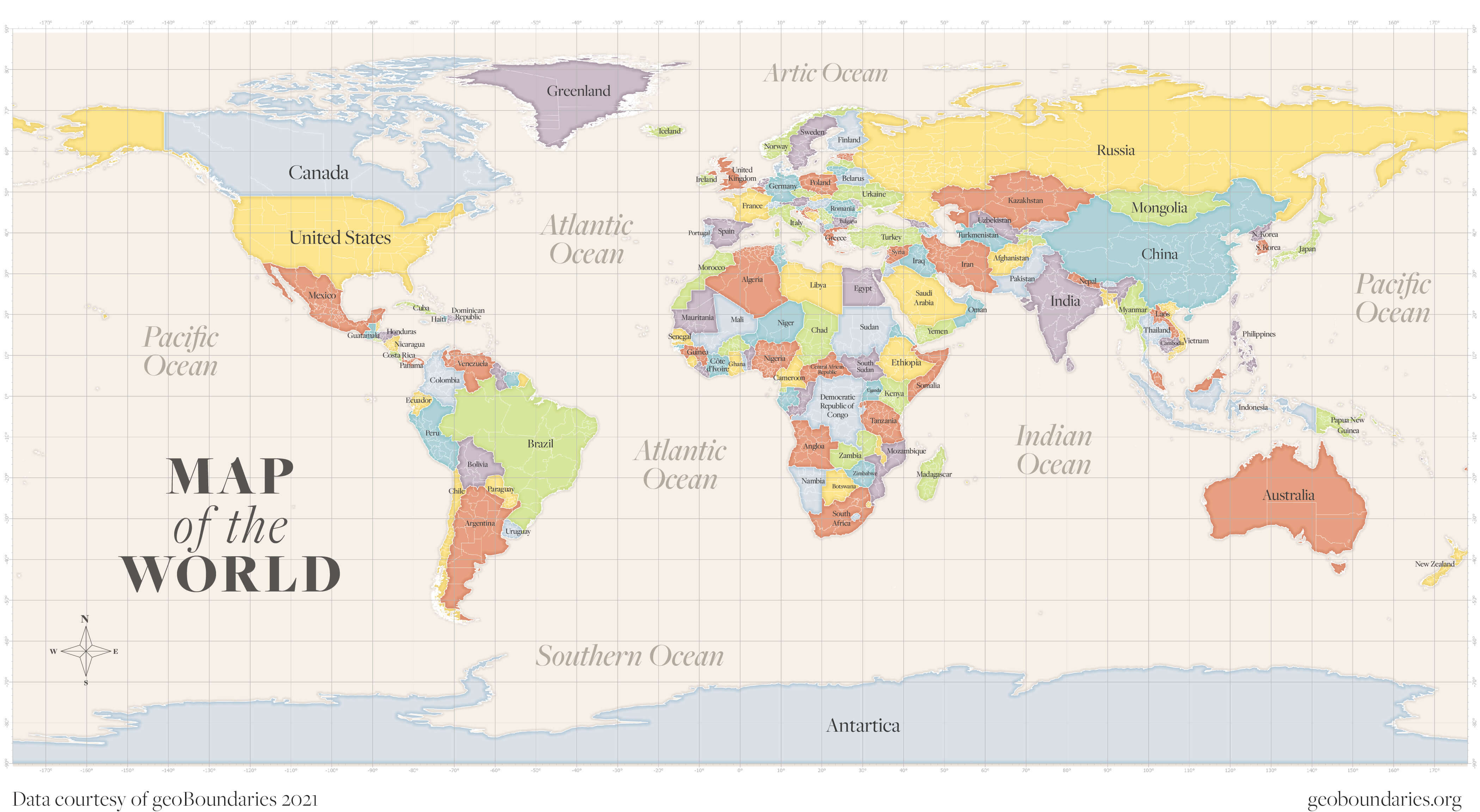
CGAZ is produced for formal releases. It is not part of nightly builds.
Global files can be large. Choose GeoPackage for desktop GIS or GeoJSON for web maps. Attribution is required. For reproducible research, use an archived release.